msp-tool
AquaSpace
Data and Resources
-
A GIS-based tool for an integrated assessment ...
scientific_publication The increasing demand for protein from aquaculture will trigger a global...
-
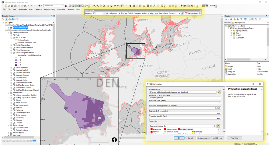
AquaSpace Tool GUIPNG
documentation
Additional Info
| Field | Value |
|---|---|
| Tool category |
|
| MSP stages | 5 Evaluate alternative management actions |
| MSP users |
|
| Type of software | ArcGIS Plugin/extension |
| Compatible OS | Windows |
| Input data | Spatially explicit |
| Output data |
|
| Organization | THÜNEN |
| Code accessibility | The code has to be requested to the developers |
| Software license | Commercial license (without fee), freeware |
| Documentation | Draft user documentation |
| Tool community facilities | |
| Additional informations | |
| Relevance for case studies | |
| Metadata completeness | Complete |