msp-tool

AquaSpace

Embed

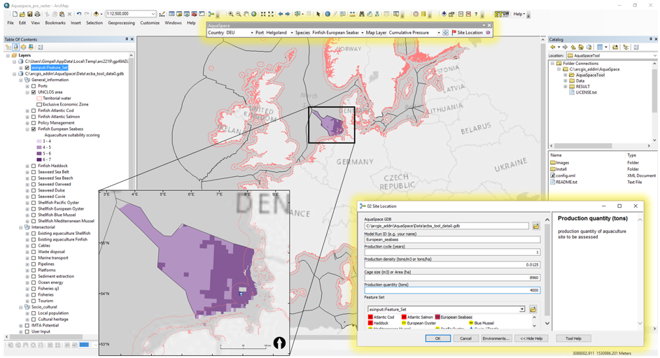
The AquaSpace tool was developed within the EU Horizon 2020 project AquaSpace in order to achieve an effective implementation of MSP for aquaculture by adopting an Ecosystem Approach to Aquaculture (EAA). The GIS-AddIn allows users to spatially represent and compare risks and opportunities of aquaculture development over a number of potential sites. The overall effect of alternative planned solutions of aquaculture is assessed through a set of 30 specific indicators grouped in four categories (inter-sectorial, environmental, economic and social indicators). Tool outputs are pdf-format reports including general site information, results from all indicators and graphs, allowing comparison among scenarios. As there is no limitation of the quantity of scenarios one can assess, the tool produces a csv file, facilitating the comparison of multiple indicators values, planning trade-off discussions as well as communication of opportunities and risks. The overall process supports stakeholders in taking informed and evidence-based decisions on proposed aquaculture solutions.

Data and Resources

Additional Info

Field Value
Tool category
  • Environmental impact assessment
  • Site identification
  • Socio-economic analysis
  • Uses conflict analysis
MSP stages 5 Evaluate alternative management actions
MSP users
  • Planners
  • Scientists
Type of software ArcGIS Plugin/extension
Compatible OS Windows
Input data Spatially explicit
Output data
  • Layer
  • Maps
  • Tables
Organization THÜNEN
Code accessibility The code has to be requested to the developers
Software license Commercial license (without fee), freeware
Documentation Draft user documentation
Tool community facilities
    Additional informations
    Relevance for case studies
      Metadata completeness Complete